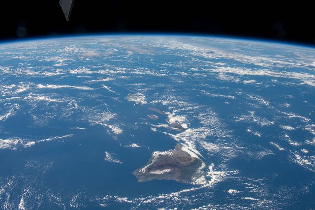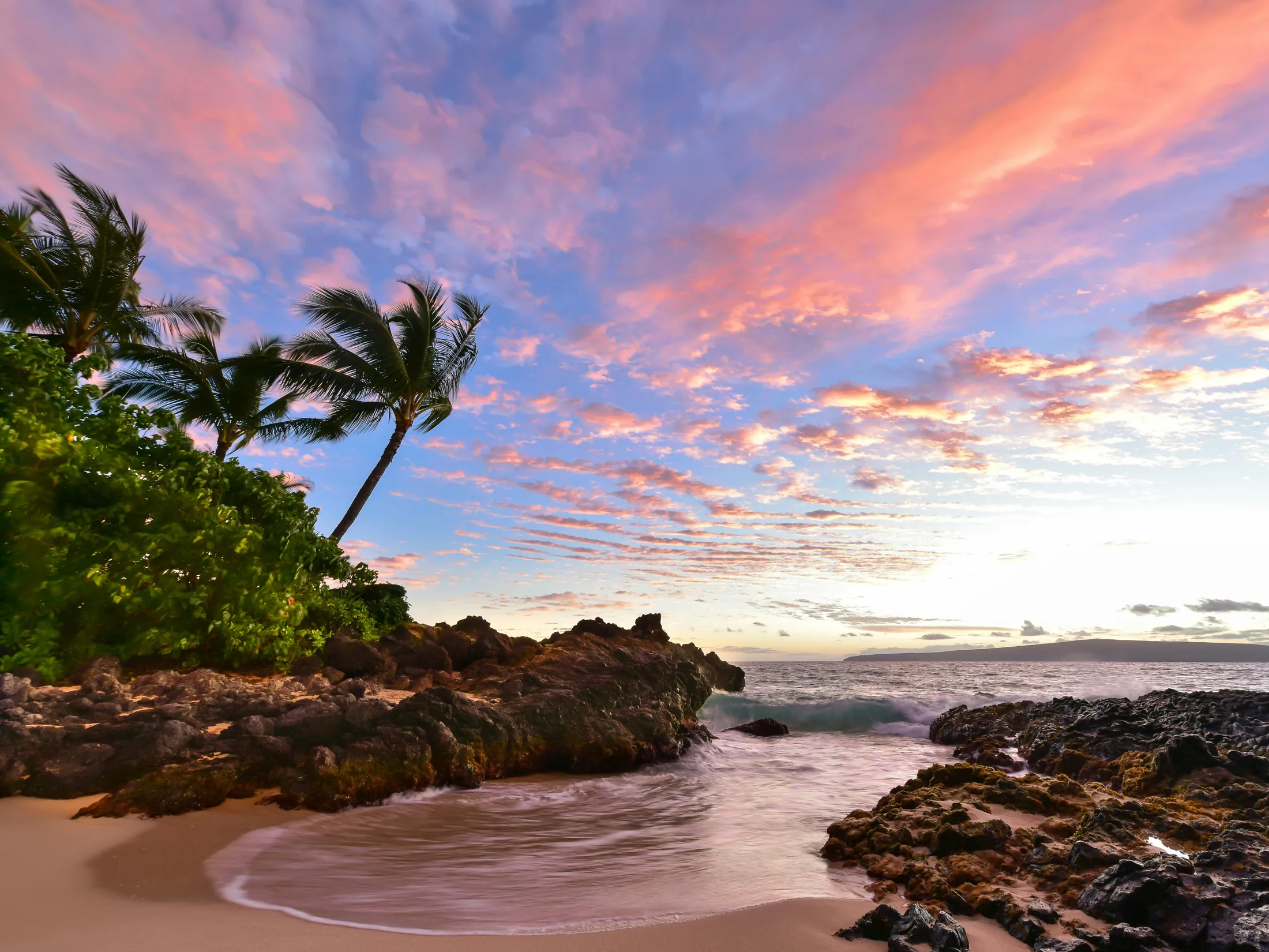


The channels between Maui, Molokaʻi, Lānaʻi, and Kahoʻolawe make the islands feel separate today. Geologically, they are close relatives—high points of a much larger volcanic landscape called Maui Nui, or “Great Maui.”
Around a million years ago, Maui Nui was one of the largest islands the Hawaiian hot spot had ever produced, about half again as large as modern Hawaiʻi Island. At least seven volcanoes had grown close enough for their lava fields to meet. The ocean later reclaimed the low ground between them.
Seven volcanoes build one great island
The story began west of modern Molokaʻi at Penguin Bank, a volcano whose summit is now underwater. Volcanic activity then stepped east and southeast through West Molokaʻi, East Molokaʻi, Lānaʻi, West Maui, Kahoʻolawe, and Haleakalā on East Maui.
Each volcano rose from the deep seafloor through repeated eruptions. As their broad slopes expanded, neighboring lava fields overlapped. The result was not a tidy row of cones but one enormous island with several mountain centers.
Maui itself preserves two of those centers. The older West Maui Volcano forms the rugged mountains west of the central valley. Haleakalā forms the much larger eastern part of the island. The low isthmus between them is where their volcanic landscapes meet.
The volcanoes did not age at the same pace
Although they shared one landmass, Maui Nui’s volcanoes had different life stories. Lānaʻi’s main eruptive period was relatively brief. West Molokaʻi and Kahoʻolawe also quieted early. East Molokaʻi and West Maui produced smaller eruptions much later, including the eruption that formed the Kalaupapa Peninsula.
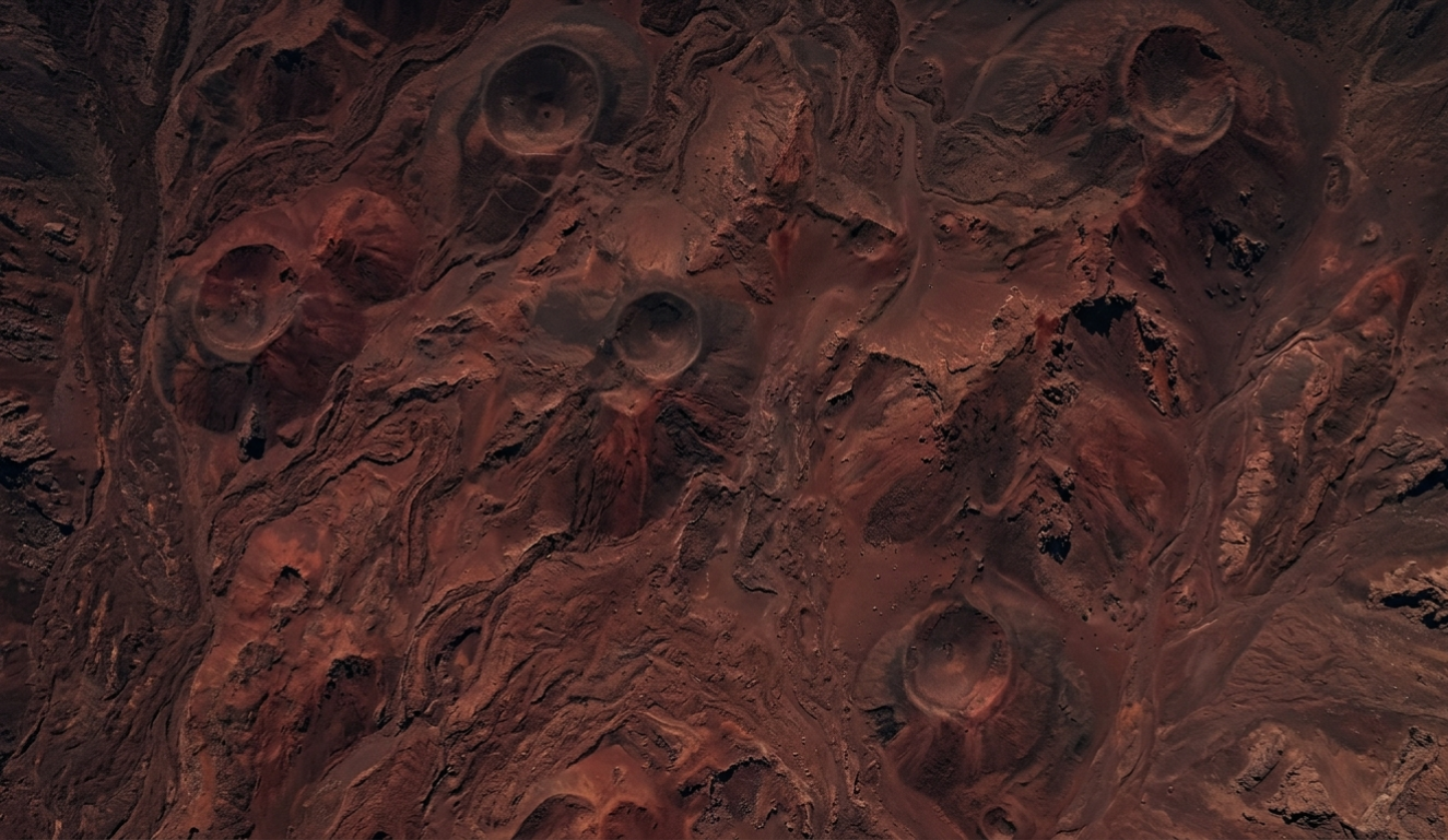
Haleakalā lasted longest. Its most recent eruption occurred only a few centuries ago, and the volcano is considered capable of erupting again. The colorful cones inside its summit depression record part of that later activity. The broad “crater” itself was shaped largely by erosion as two great valleys cut into the mountain and later lava partly filled them.
How one island became four
Once the main rush of volcanic construction passed, Maui Nui began to lose ground. Rain opened valleys. Massive landslides removed sections of volcanoes, including a huge collapse from East Molokaʻi that helped create the island’s towering north-shore cliffs.
The whole volcanic complex also sank gradually under its own weight as the Pacific Plate carried it away from the hot spot. Sea level rose and fell during the ice ages, repeatedly exposing and flooding the shallow connections between the volcanoes. As the long-term sinking continued, the channels deepened and modern Maui County separated into four main islands.
Even near the end of the last ice age, when sea level was much lower, Maui, Molokaʻi, Lānaʻi, and Kahoʻolawe were connected by low land and limestone bridges. Rising water flooded those connections and produced the channels familiar today.
Watch Maui Nui grow and divide
The animation follows all of the major volcanic systems on one timeline, which makes the scale of the former island—and the gradual nature of its separation—much easier to understand.
Look across the channels differently
From West Maui, the silhouettes of Molokaʻi and Lānaʻi no longer look like unrelated islands once you know their history. They are surviving summits of a shared volcanic world. Kahoʻolawe is another worn volcanic peak, and the shallow seafloor among them preserves the missing lowlands.
Maui Nui is a vivid reminder that island outlines are temporary. Volcanoes create the high ground, but sinking, erosion, and changing seas decide how much of it remains above water. Continue with the story of the entire Hawaiian chain.

Further Reading
A few relevant next steps from Alakai Aloha.